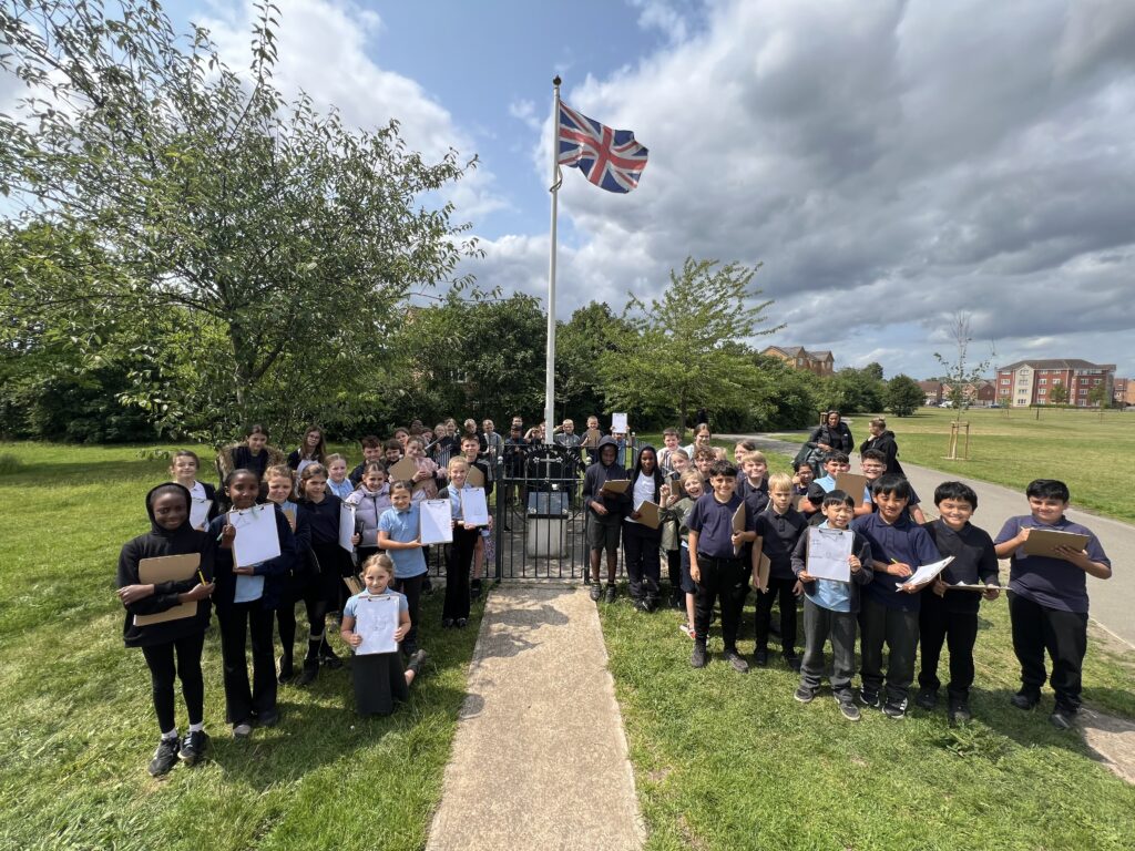
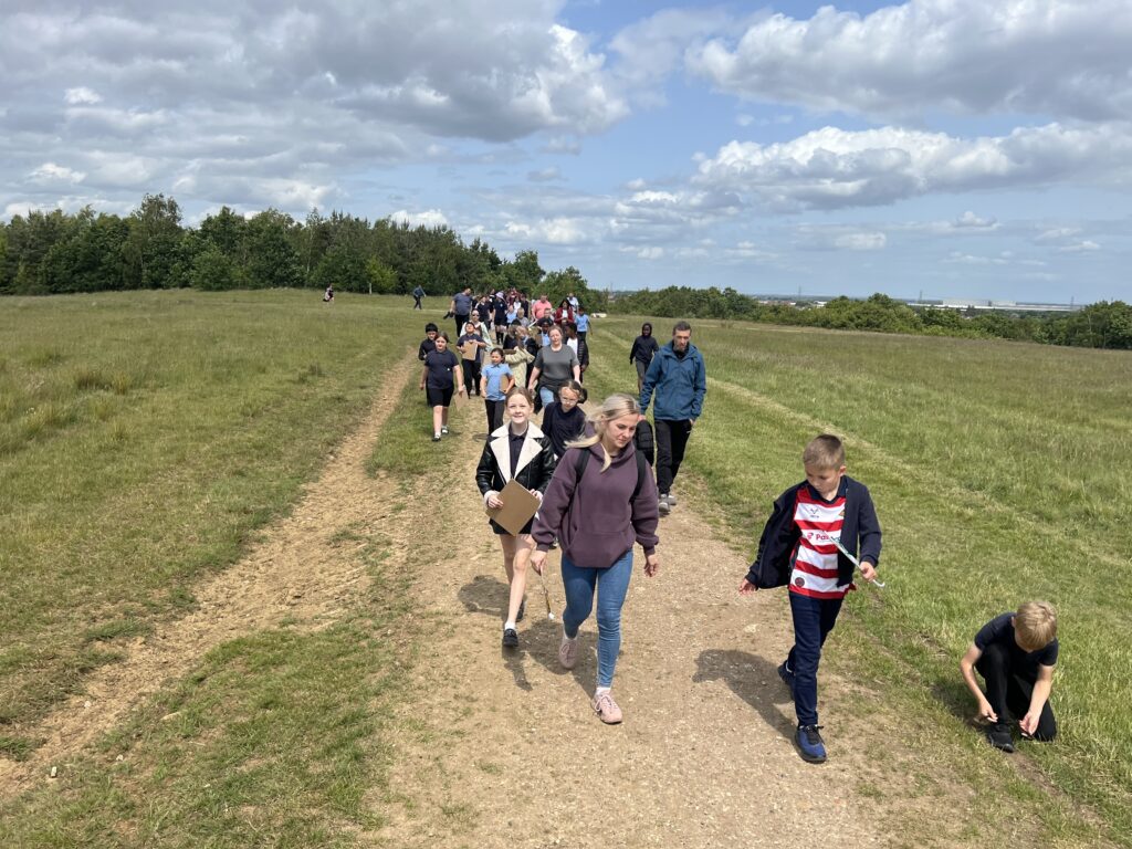
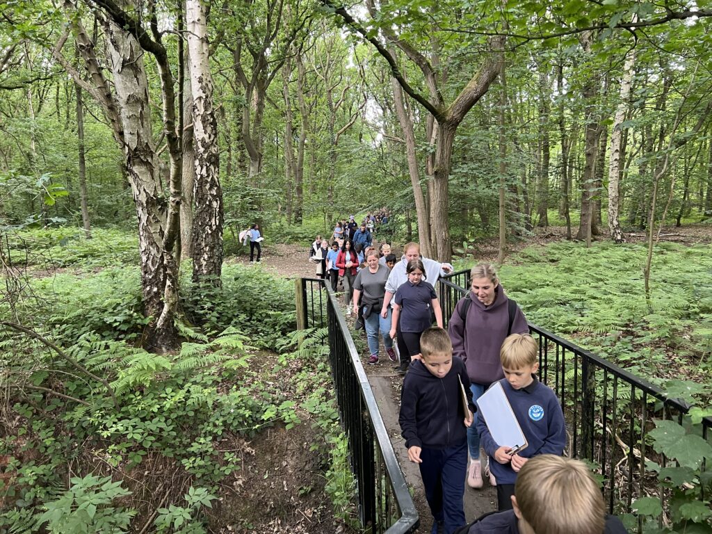
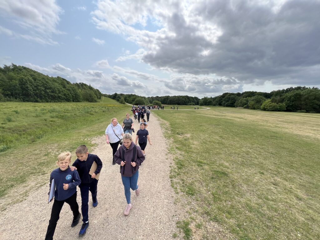
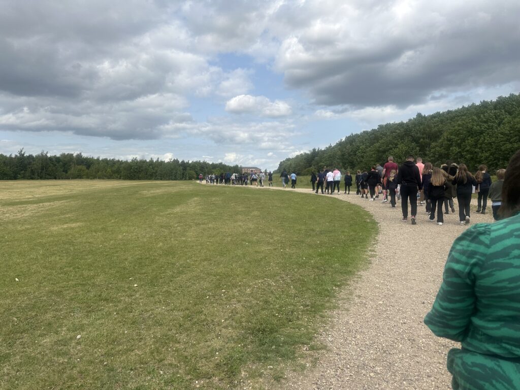
Year 5 showed great determination on this afternoon’s hike from school to the historic Markham Main (Armthorpe) colliery pit top. We ventured through the woods and were pleased to find the now defunct spoil tips had been made into a beautiful nature reserve for the public of Doncaster to enjoy. We explored onward to the new housing estate where we discovered the monument and stones marking the two mine shafts, also being surprised to learn that the nearby street names were named after those who had lost their lives underground.
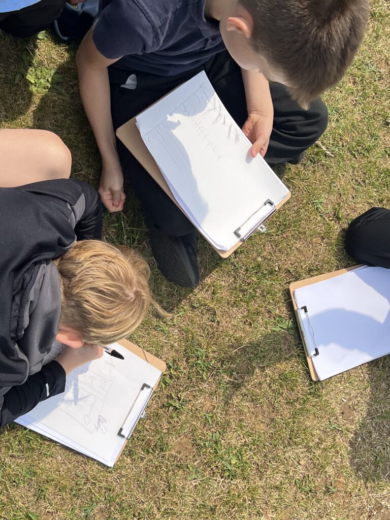
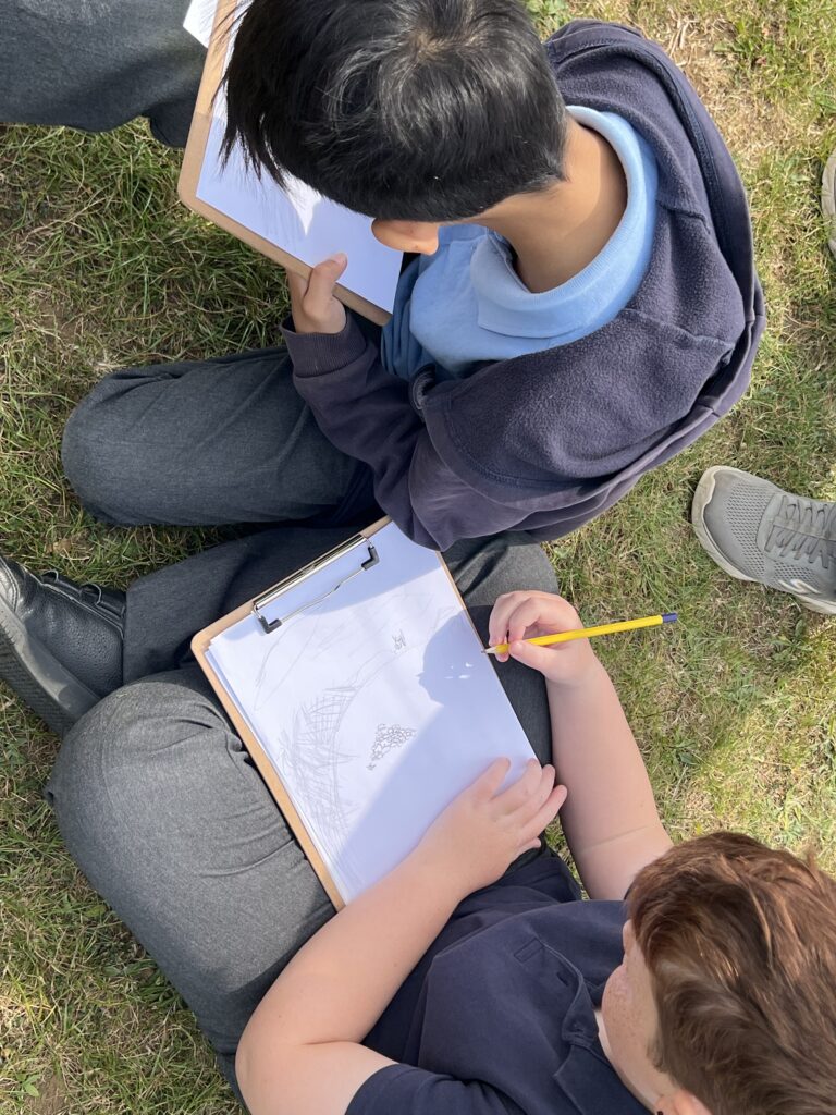
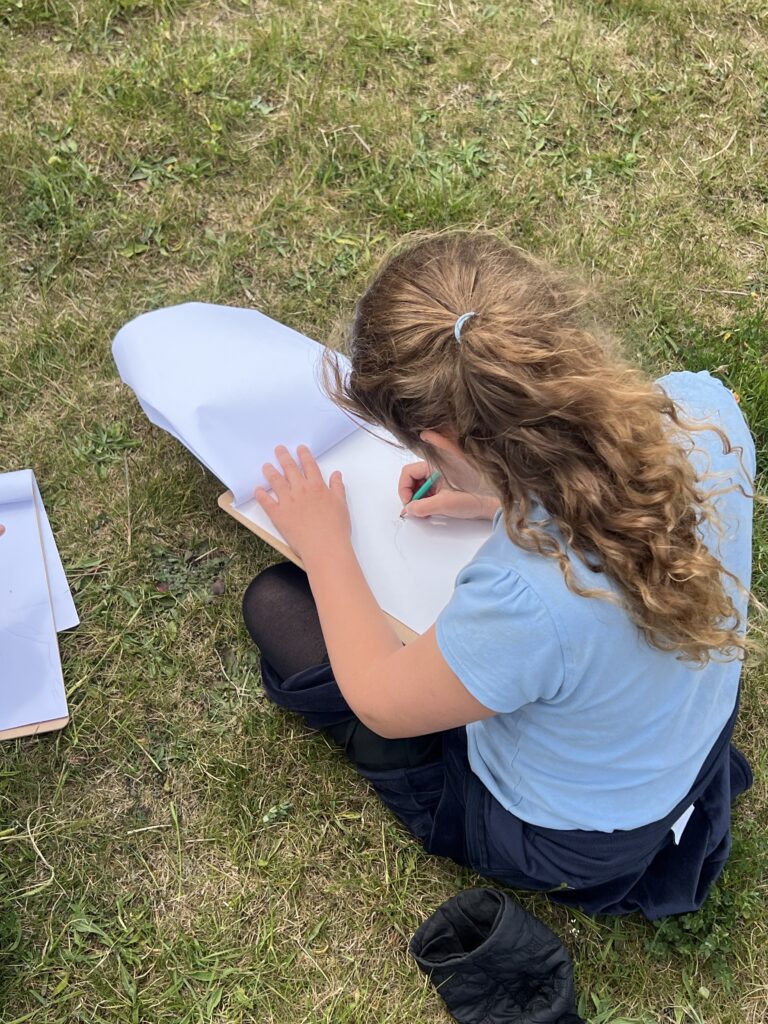
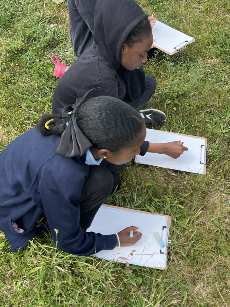
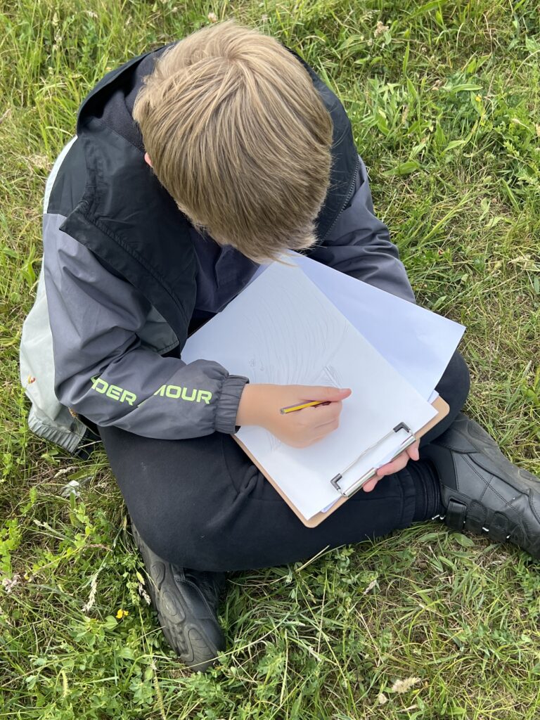
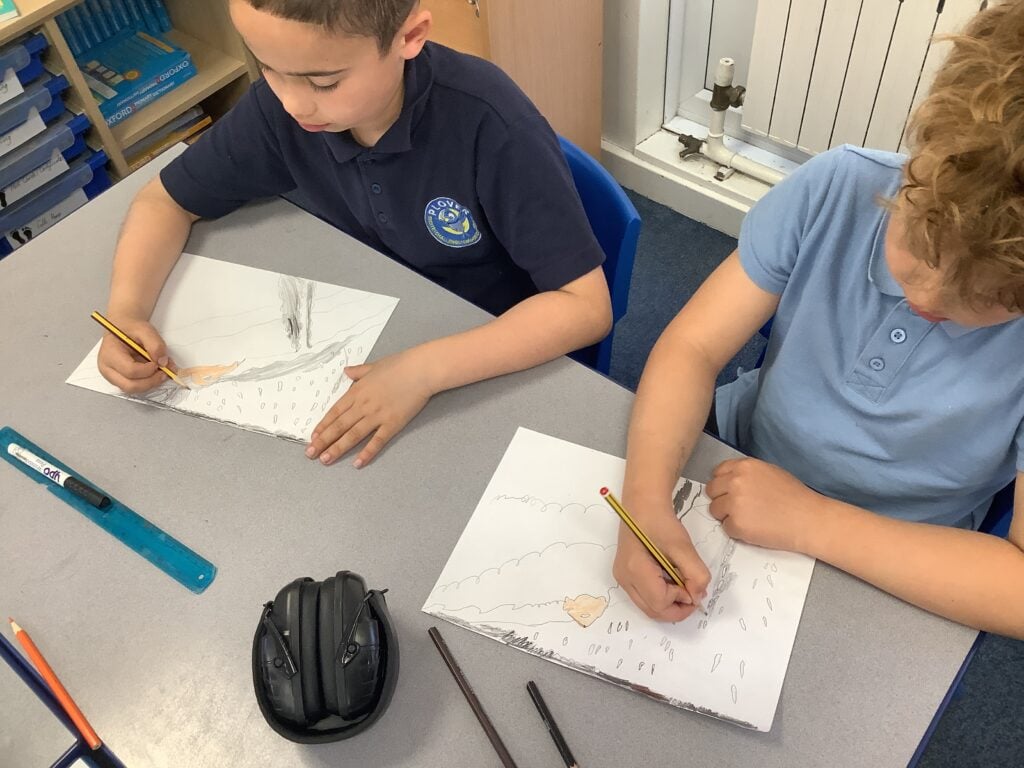
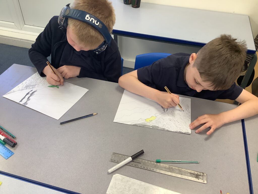
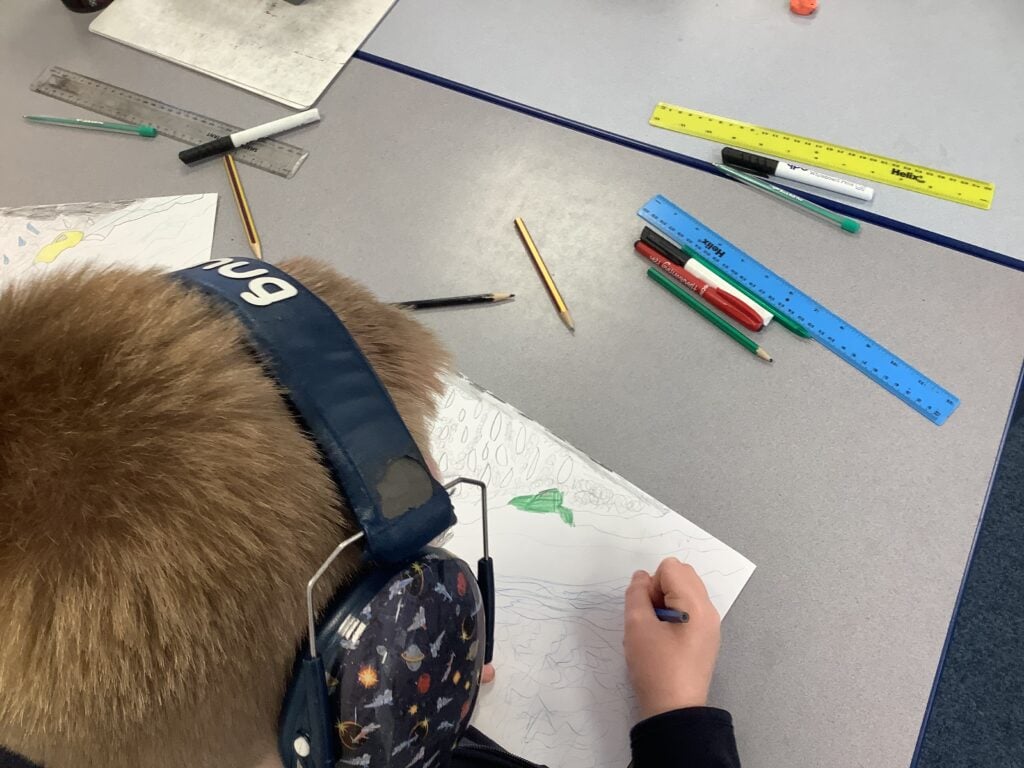
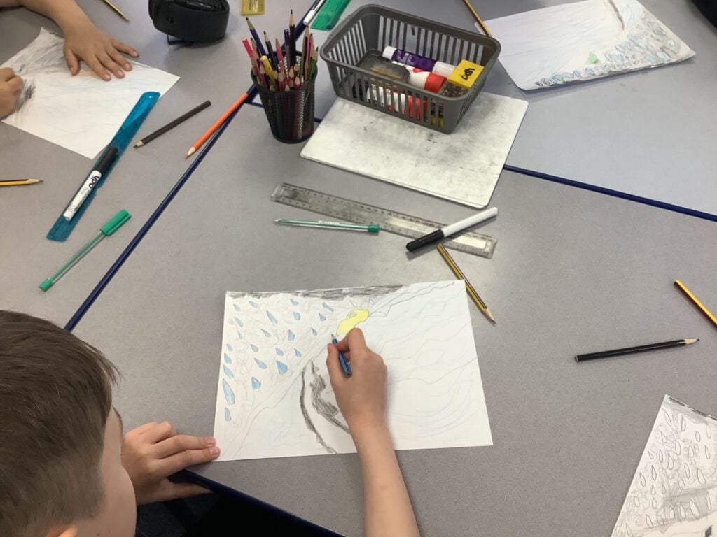
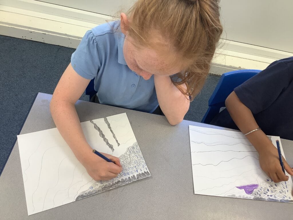
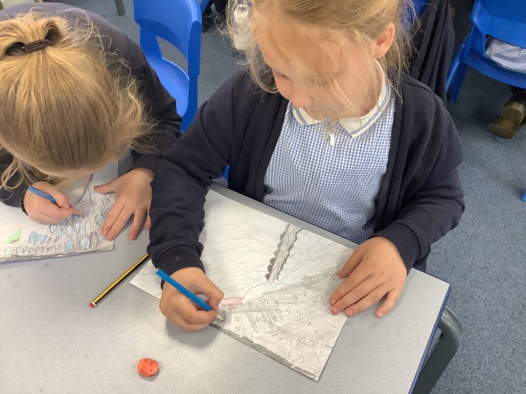
We spent some time to reflect on the miners’ of Doncaster hard work through the years, working on our sketching skills by drawing the monuments.
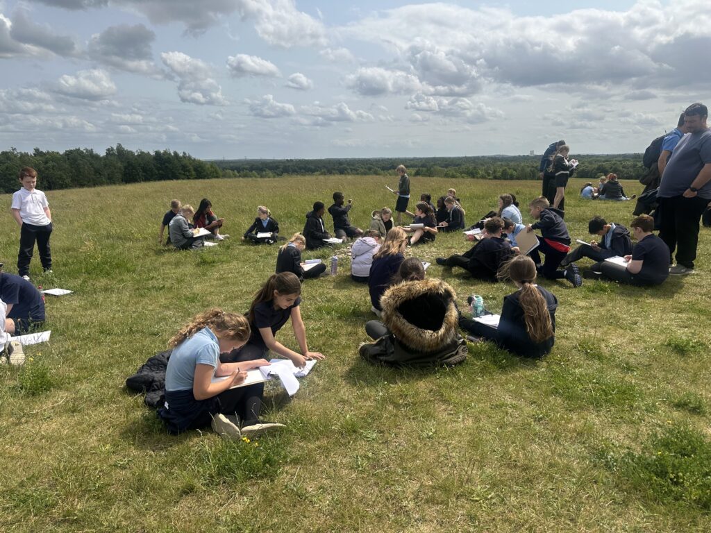
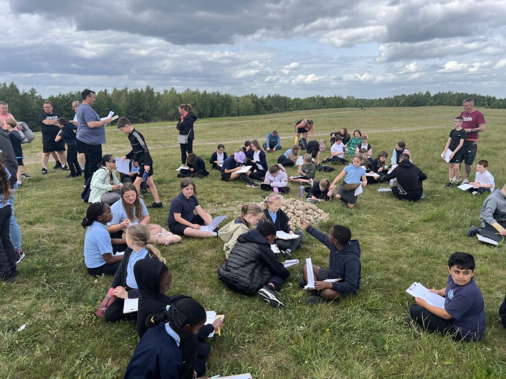
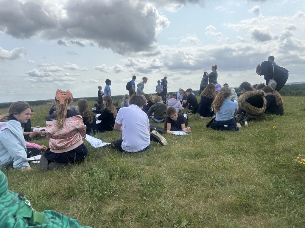
Next, we ventured up high to the very top of the area, resting around the cairn to complete some beautiful sketching of the panoramic views of the city.
It was a long walk and we were very impressed at the resilience and engagement shown from everyone.
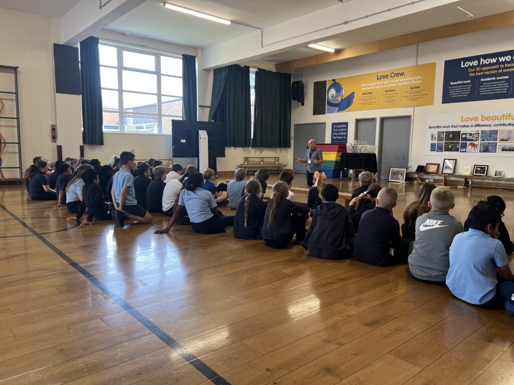
A huge thank you, also, to the family members who attended to help make this a really special learning opportunity out in the field.
Well done everybody!
Year 5 Crew