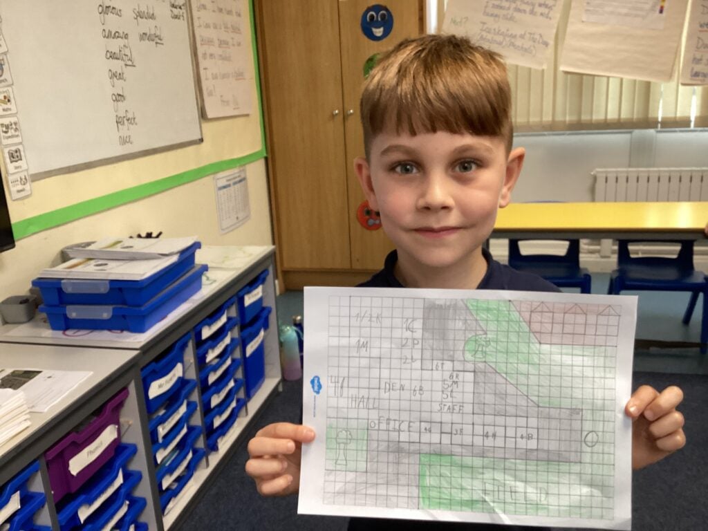
2P have been learning how aerial views can be used to draw maps. We used an aerial image of our school and then used a ruler and pencils to carefully draw the lines to create our own map. We added some labels and some symbols. We did a great job! Take a look at David’s beautiful work:
#LovePlover

